
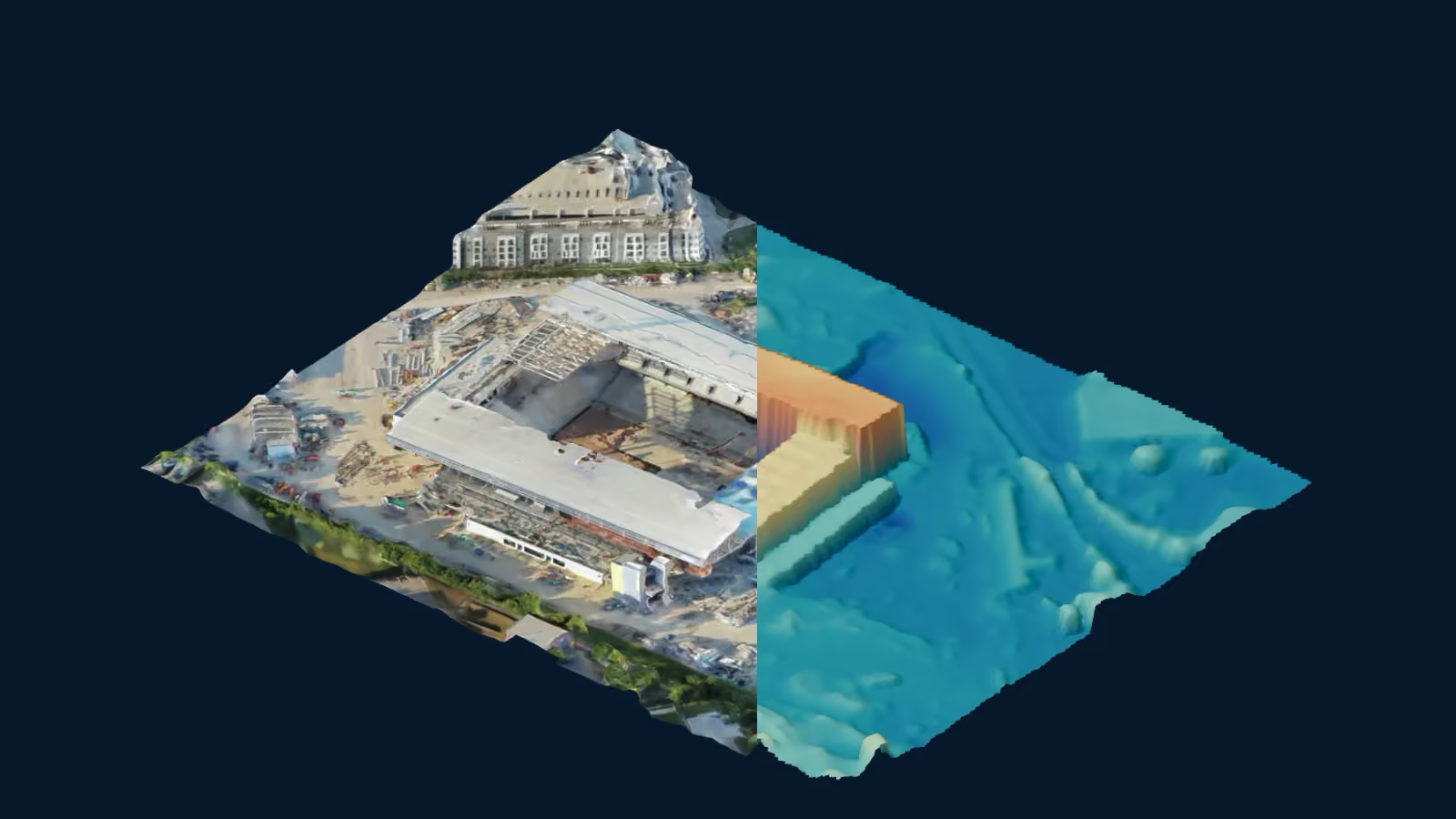
A construction meeting becomes easier when everyone can point to the same current view. A drone map can show how an excavation, a delivery route and a material storage area relate to one another. That shared context helps teams discuss a change before they decide what to do about it.
For construction planning in Kuwait, the value comes from connecting the captured site to a specific decision. A map with a clear date, boundary and purpose is more useful than an impressive model whose coverage nobody understands. This guide focuses on using those records during a project; our drone surveying brief covers the technical requirements for commissioning them.
Establish a common starting point
Before major work changes the site, agree which areas need a baseline record. Include interfaces that matter to the programme: existing structures, temporary access, neighbouring work areas and planned storage zones. Mark what falls outside the capture boundary.
An orthomosaic combines aerial imagery into a corrected plan view, while a three-dimensional model helps communicate visible form. Their usefulness depends on capture and processing. DJI’s surveying overview describes these output types and their relationship with construction models.
Give the baseline a capture date and version. Keep design drawings separately identified, even when presenting them together. A design describes intended work; the capture records visible conditions at a particular time.
Review access and work zones together
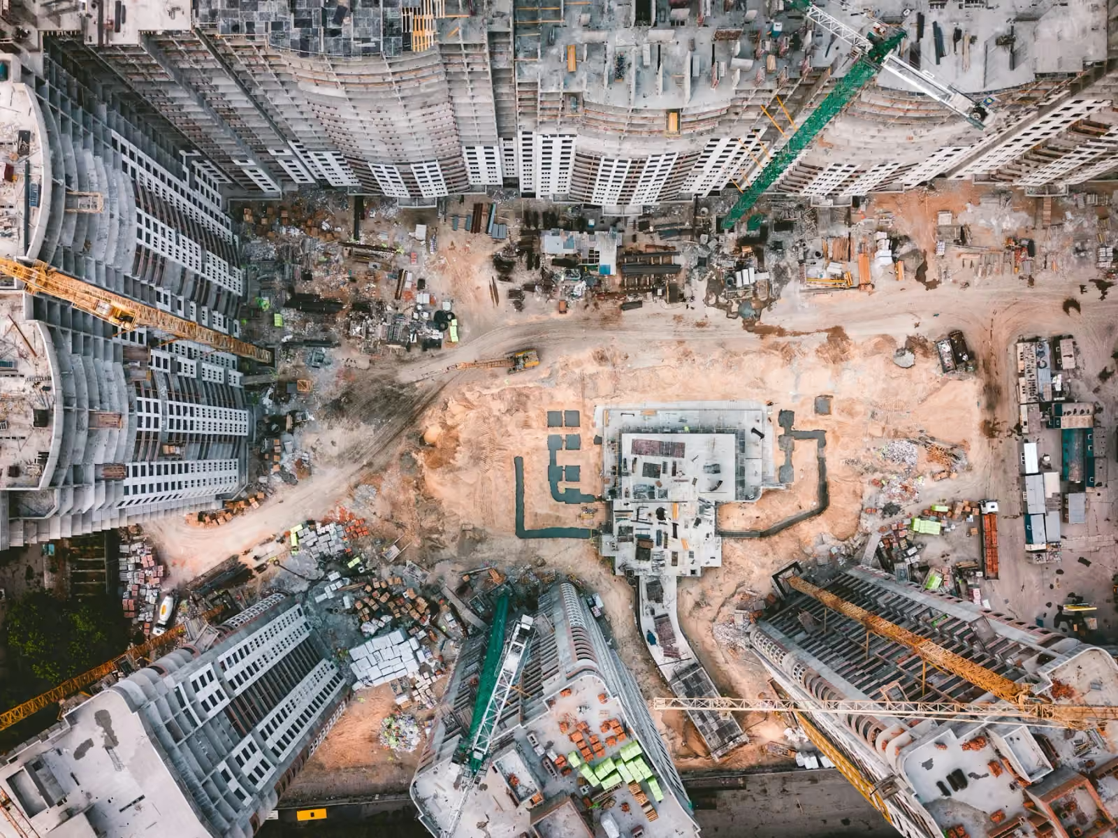
A current overview can support conversations about where activities interact. For example, a proposed storage area may sit beside the route used to reach another work front. The map gives the team a place to discuss that relationship and identify what needs checking on the ground.
Use annotations sparingly. Label the work zone, state the question and assign the follow-up. A map cannot determine ground bearing capacity, identify buried services or approve a lifting operation. Those decisions need the relevant site information and responsible specialists.
Compare change without losing context
For repeat captures, use the same area names and keep previous records accessible. A project manager should be able to find the relevant date and understand whether a missing area was outside scope, obstructed or not captured.
Consider a hypothetical project with two buildings and a shared access road. One reporting cycle may focus on excavation, the next on deliveries. Keep a stable whole-site reference alongside any closer views. This makes the sequence easier to read as priorities change.
If the aim is a visual progress discussion, progress documentation may provide the appropriate record. If the team needs to quantify a difference between surfaces, commission a measurement workflow with compatible reference systems and validation. Comparing two attractive screenshots does not establish an earthworks quantity.
Make the coordination meeting actionable
A useful review has a short set of questions, not an unlimited tour of a model. Choose the view that explains each issue and record the decision beside it.
| Planning question | Record to bring | Follow-up to capture |
|---|---|---|
| Has the access arrangement changed? | Dated overview with route labels | Site verification and responsible coordinator |
| Which work fronts are visibly active? | Comparable views from each reporting date | Programme context from the construction team |
| Does a built feature need closer review? | Located image and relevant drawing reference | Inspection or measurement requirement |
| What should remote stakeholders see? | Brief annotated selection | Decision required and response date |
Keep observations distinct from conclusions. A photograph can show an area was occupied at capture; it does not explain why an activity was delayed or establish contractual responsibility.
Include what an outdoor map cannot show
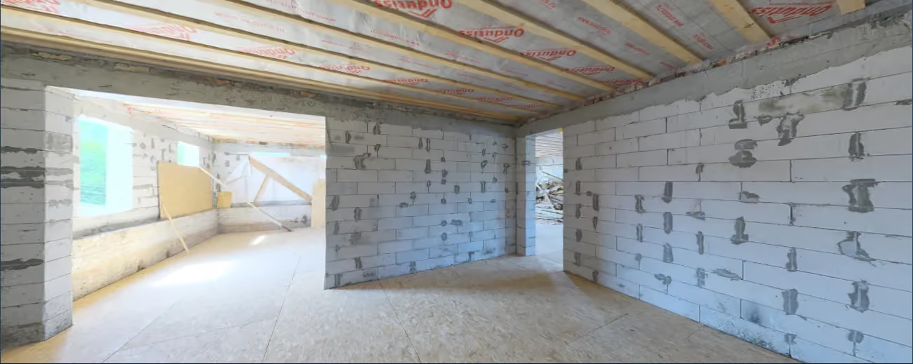
Roofed areas, interiors and hidden surfaces need their own capture plan. For accessible building interiors, 360° walkthroughs can add recorded viewpoints to the project archive. Label their date and location so they are not mistaken for a live view or a metric survey.
Plan a workable capture window in Kuwait
Tie the visit to the construction programme and local site arrangements. Heat, airborne dust, glare and changing visibility belong in the planning discussion. Confirm a suitable operating window for the selected equipment, access to work areas and how the team will handle a postponed visit.
For a large or phased project, identify the site contact for each area and the cut-off date for reporting. Agree who records a coverage gap and whether it requires another visit. This keeps a late change from silently becoming a hole in the project record.
Keep a usable archive through handover
Store capture dates, coverage, drawing revisions and meeting annotations with the delivered files. Decide which files the engineering team needs and which views belong in the management report. An organised archive gives later reviewers the context to interpret an earlier decision.
Orbit’s spatial mapping service can be scoped around these planning needs. For photography, walkthroughs and completion media across the build, see our construction drone services guide.
Plan your site mapping