ORBIT AERIALS / KUWAIT

Perspective.
Without limits.

Drone inspection, surveying and visual documentation in Kuwait. A clearer view of your assets, construction sites and changing environments.

Preparing 3D view
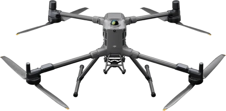
DJI Matrice 400
PRECISION IN PERSPECTIVE
OUTDOOR OPERATIONS

DJI Matrice 400

An enterprise platform for inspection, mapping and site documentation. Configured around the information your team needs.

Asset inspection · Spatial capture · Site documentation
Interactive CAD wireframe · drag to rotate
A WIDER VIEW OF WHAT WE DO

Above the asset.
Inside the structure.
Closer to the answer.

From industrial infrastructure to changing landscapes, we help teams see more clearly. An Orbit project starts with a question and ends with information you can use.

FIVE FIELDS OF VIEW

Different environments.
A clearer perspective.

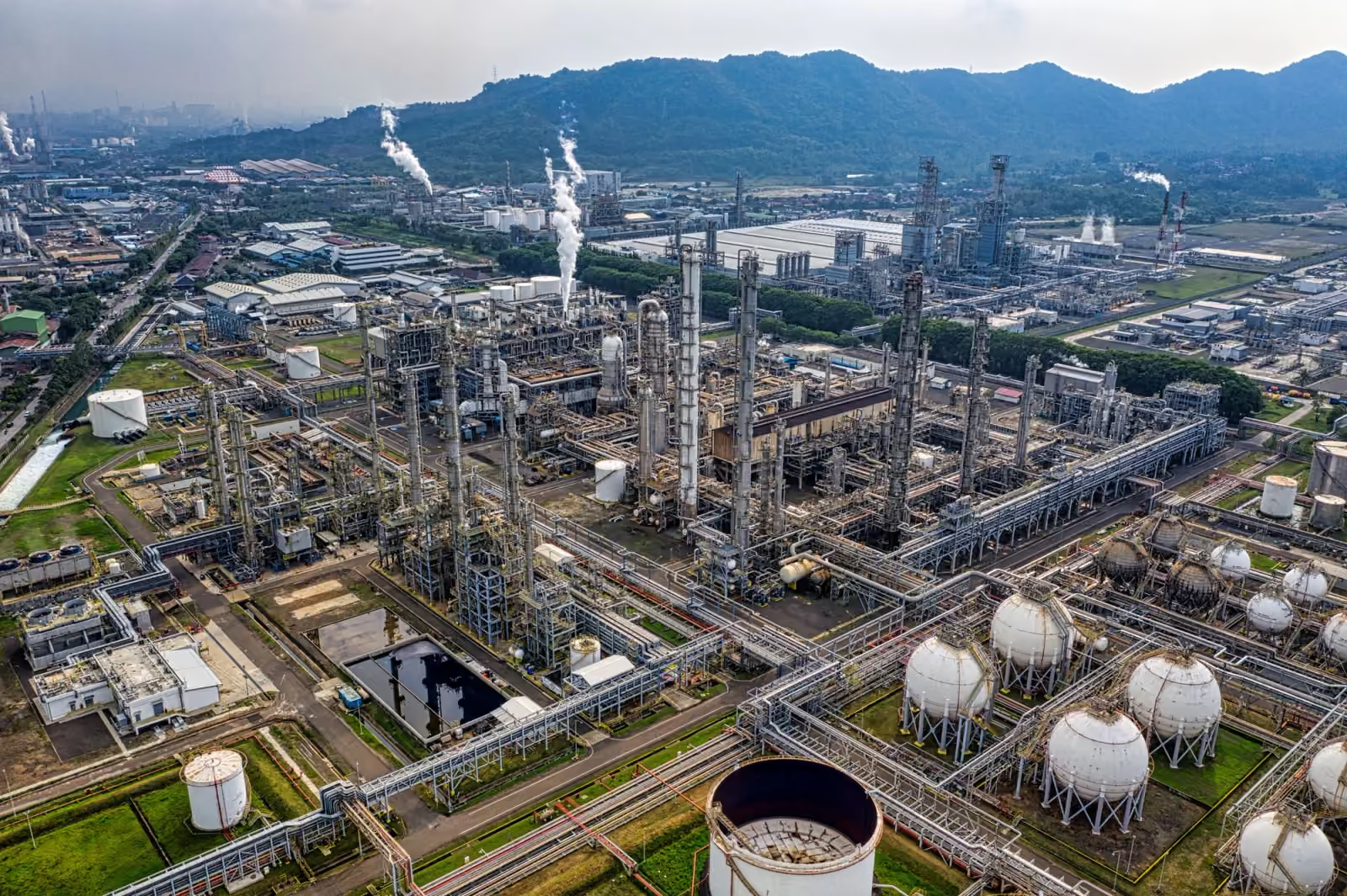
Illustrative aerial view of refinery structures and storage tanksILLUSTRATIVE INDUSTRY VIEW
OIL & GAS

Closer to the asset.

Understand visible asset conditions and the relationship between structures, access routes and operating areas.

What we capture
External visual inspection and site documentation, with Elios 3 for suitable enclosed spaces. Thermal or specialist inspection is scoped around a confirmed payload.
What you receive
Organised imagery, agreed coverage references and a visual record for review by your asset team.
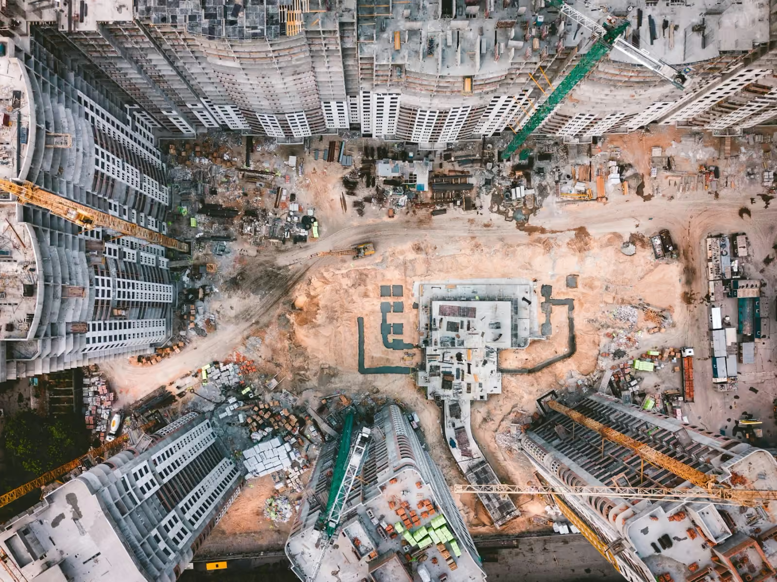
Illustrative aerial photograph of a large concrete construction siteILLUSTRATIVE INDUSTRY VIEW
CONSTRUCTION

Every stage. In perspective.

Keep stakeholders connected to progress, understand the whole site and create a lasting record of the build.

What we capture
Recurring aerial views, spatial capture, ground and aerial 360° viewpoints, time-lapse sequences and completion media.
What you receive
Dated photography, edited updates, agreed mapping outputs, walkthroughs and handover films.
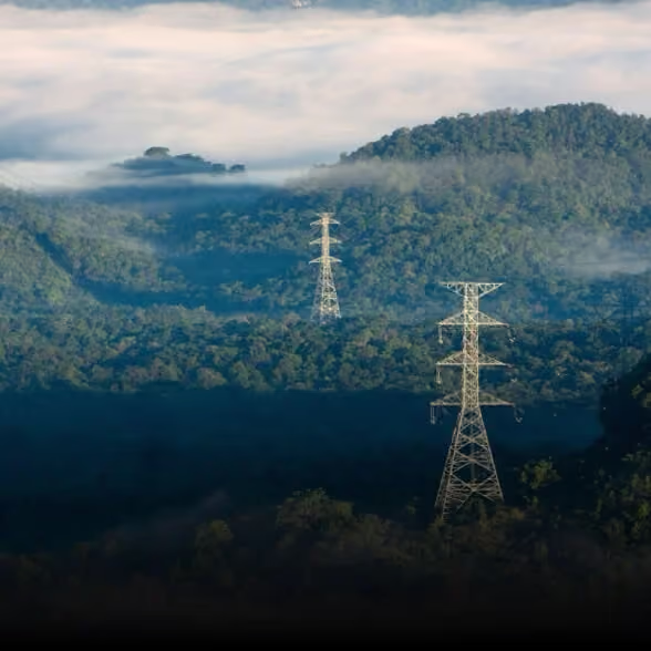
Illustrative power transmission infrastructureILLUSTRATIVE INDUSTRY VIEW
POWER & INFRASTRUCTURE

See the connections.

Review visible condition and spatial context across infrastructure that can be difficult to access from the ground.

What we capture
Visual inspection, route and site mapping, and condition documentation. Thermal assessment depends on equipment configuration and the agreed operating scope.
What you receive
An organised visual record and agreed spatial outputs that support your own engineering review.
Manufacturer illustration of an aerial site-awareness applicationILLUSTRATIVE INDUSTRY VIEW
SECURITY

Context when it matters.

Build a clearer picture of an authorised site, its perimeter and recorded incidents.

What we capture
Planned aerial observation, visible site conditions and incident documentation within an agreed, legitimate operational scope.
What you receive
Dated imagery and edited documentation for authorised stakeholders. Scope and access are agreed before capture.
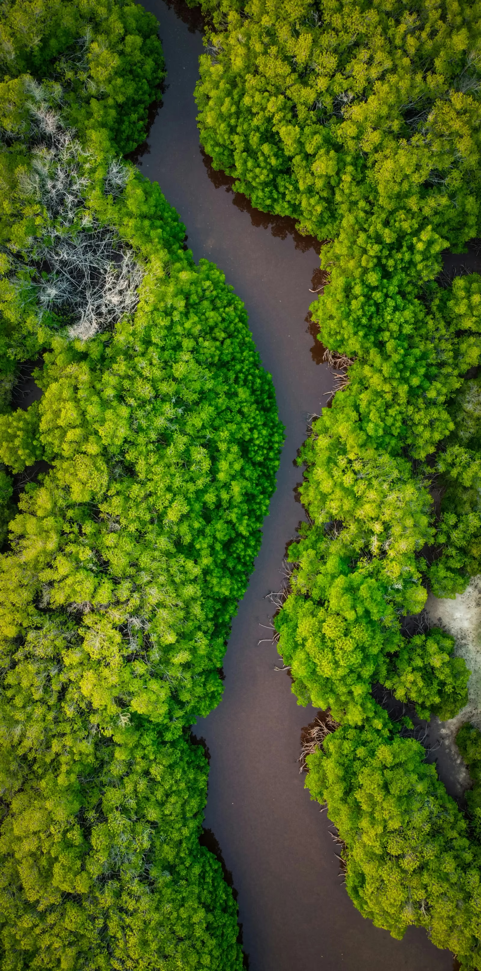
Illustrative aerial view of a coastal mangrove landscapeILLUSTRATIVE INDUSTRY VIEW
ENVIRONMENT

Understand a changing landscape.

See the extent and visible condition of land, vegetation, coastlines and changing sites.

What we capture
Aerial mapping, repeat photography and visual documentation of agreed areas. Specialist sensing is discussed separately.
What you receive
Comparable imagery, orthomosaics or other agreed outputs for your environmental team’s interpretation.
FROM CAPTURE TO CLARITY

The bigger picture.
The detail that matters.

Inspection, mapping, monitoring and visual storytelling. Start with what you need to understand.

SHOW, THEN EXPLAIN

See what a different
perspective reveals.

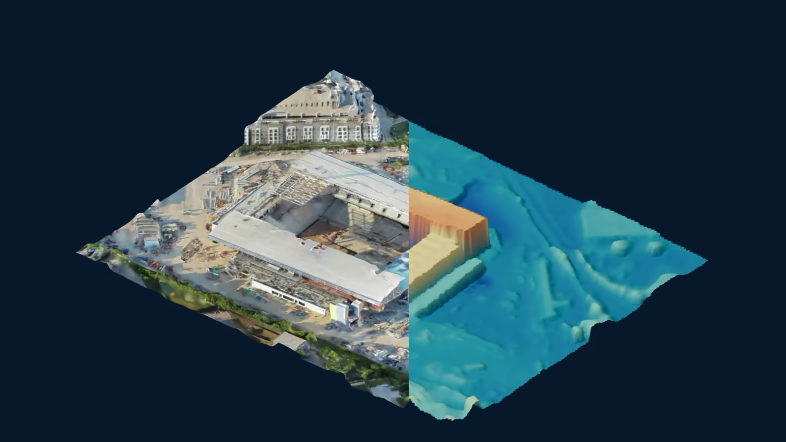
Sircher stadium demonstration with textured and surface views
ONE SCENE / THREE PERSPECTIVES

See the structure behind the image.

Compare textured photogrammetry, sampled points and a surface-height view using the same camera.

Demonstration: Stadium under construction by Sircher · CC BY 4.0. Derived views are illustrative, not validated survey data or an Orbit project.

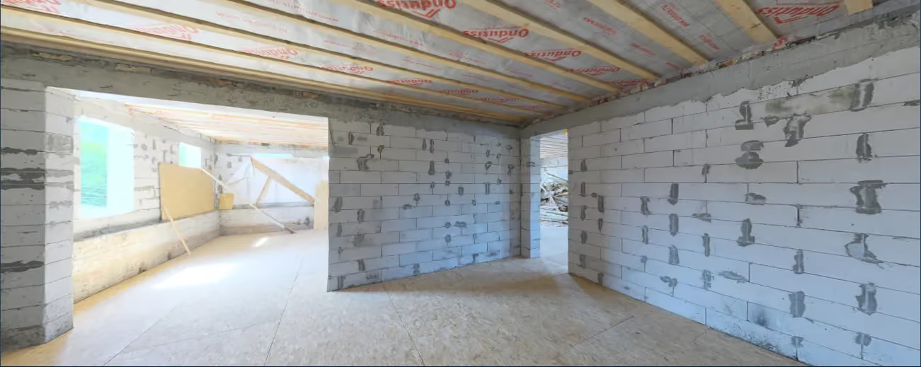
Interior Construction spherical panorama demonstration
A RECORDED MOMENT / EVERY DIRECTION

Look around. Understand more.

Explore a true spherical photograph of an unfinished interior. A captured place you can revisit.

Demonstration: Interior Construction by Sergej Majboroda / Poly Haven · CC0. Not an Orbit commission.

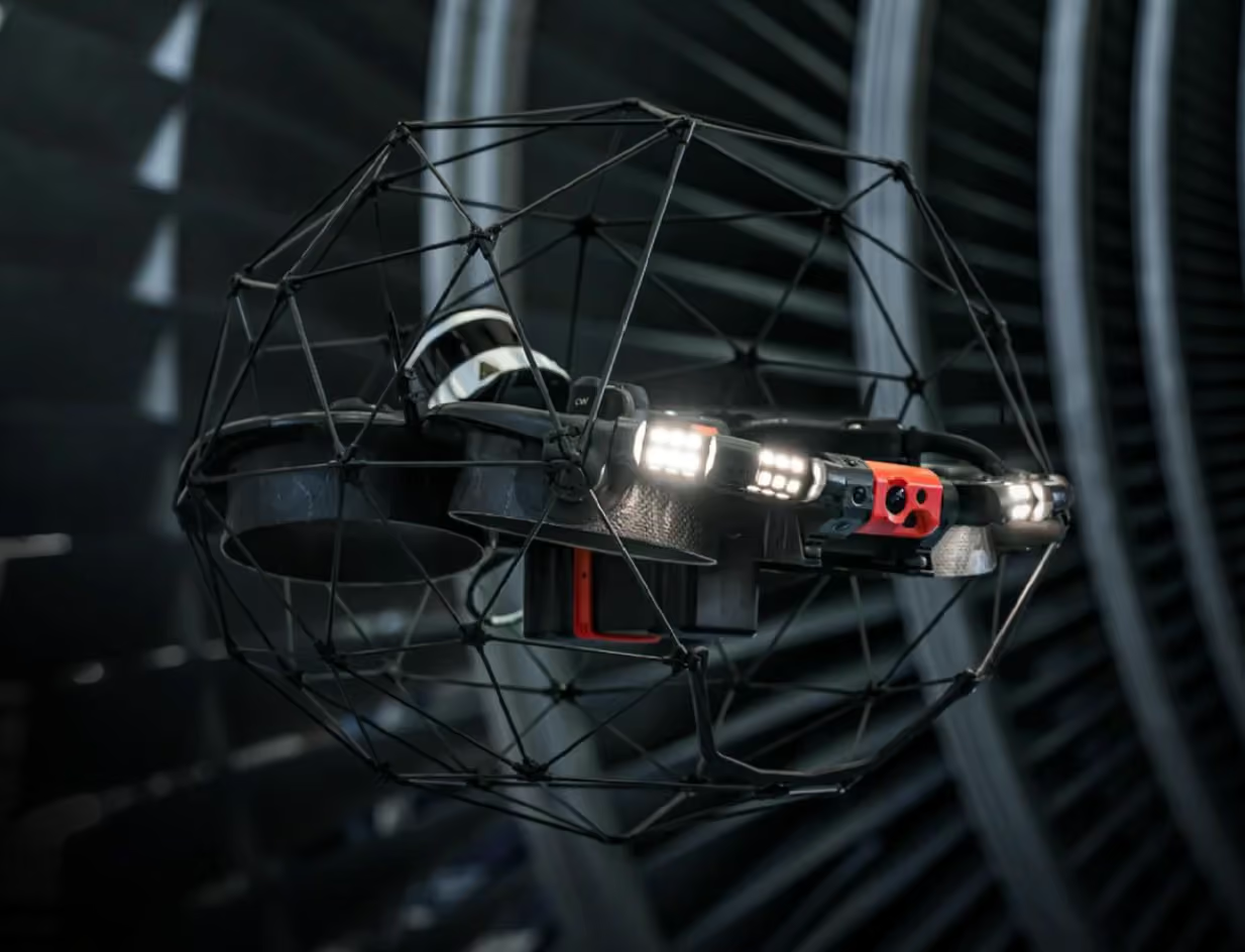
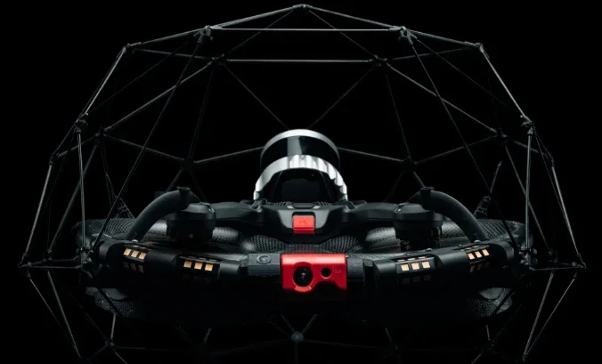
FLYABILITY ELIOS 3

The inside
perspective.

Beyond the exterior, there is another story to see. Our Elios 3 brings visual inspection into suitable confined and GPS-denied spaces.

A protective cage supports work close to structures. Optional surveying and ultrasonic-thickness applications require the appropriate payload, workflow and agreed scope.

Flyability Elios 3

Flyability Elios 3 · interactive wireframe

HOW WE WORK

Purpose before
take-off.

  1. 01

    Define

    Start with the asset, environment and decision you need to make.

  2. 02

    Plan

    Agree coverage, timing, access, equipment and useful deliverables.

  3. 03

    Capture

    Collect the agreed imagery or data with site coordination.

  4. 04

    Deliver

    Receive organised outputs prepared for the intended workflow.

OUR CUSTOMERS
THE ORBIT JOURNAL

A little perspective.

Explore the blog
Illustrative aerial construction photograph
YOUR NEXT PERSPECTIVE

A clearer perspective
starts here.

EXPLORE A DIFFERENT PERSPECTIVE