
When commissioning drone surveying in Kuwait, start with what the receiving team must do with the data. A planning overview, an earthworks surface and a model for a client presentation require different specifications. Calling all three a “drone survey” leaves too much open to interpretation.
A useful brief connects the intended task to a deliverable, a reference system and an acceptance check. Orbit’s spatial mapping service is the starting point for discussing that scope. The questions below help turn a request for a flight into a defined delivery.
Choose the output your team will use
Drone mapping can produce several kinds of data. Ask the receiving engineer, surveyor or designer which representation their workflow needs before agreeing the capture. DJI’s surveying guide introduces common outputs.
| Deliverable | Useful for | Specify before capture |
|---|---|---|
| Orthomosaic | A georeferenced plan view of visible site features | Pixel size, coverage, reference system and required format |
| Point cloud | Working with sampled three-dimensional positions | Attributes, classification needs and compatible file type |
| Textured mesh | Exploring visible form in three dimensions | Visual or measurement purpose, detail and software compatibility |
| Surface model | Reviewing the captured top surface | Grid or surface format and treatment of structures and vegetation |
| Terrain output | Representing ground where observations support it | Ground coverage, classification and gaps requiring other survey methods |
A mesh is not automatically a BIM model containing classified elements and engineering properties. Specify any modelling or interpretation separately.
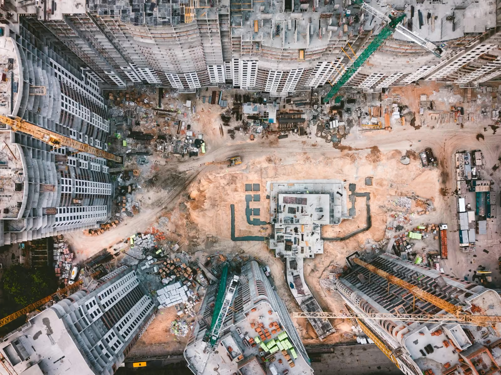
Separate image detail from positional accuracy
Ground sampling distance, or GSD, describes the ground spacing represented by image pixels. A smaller GSD can reveal finer detail, but a sharp image does not prove its features are correctly positioned. DJI explains GSD in its photogrammetry guidance.
Write separate requirements for image resolution and horizontal and vertical accuracy. Also distinguish relative accuracy within the dataset from absolute agreement with the project reference. The acceptable tolerance should follow the intended task, with the assessment method agreed before work starts. Avoid treating an aircraft specification as the guaranteed accuracy of a completed map.
Define control, checkpoints and coordinates
RTK applies positioning corrections during capture; PPK applies corrections afterwards. These methods can improve camera positioning, but they do not by themselves validate the delivered surface. See DJI’s RTK and PPK explanation.
Ground control helps position and constrain a reconstruction. Independent checkpoints assess the result against separate observations. A point used to adjust the result should not also be counted as independent evidence of its accuracy. Pix4D’s control-point guidance distinguishes control from checkpoints excluded from processing.
For a Kuwait project, obtain the coordinate reference system, vertical datum, units and any site-grid transformation from the receiving team. Do not assume every project uses the same grid. Agree the source and quality of control, checkpoint distribution and the reporting of discrepancies.
Scope quantities as a separate question
For a stockpile or earthworks comparison, identify the boundary and base or reference surface. Record how obscured edges and inaccessible ground will be treated. Use consistent references when comparing dates, and state which surfaces entered the calculation.
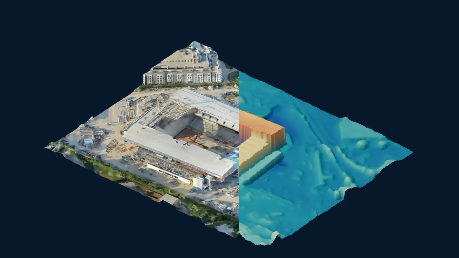
Volume and mass are different quantities; any conversion needs an appropriate density basis. A coloured height view alone is not a quantity report. Include the method, capture date and known limitations in the requested handover.
Account for Kuwait site conditions
Discuss heat, wind, dust and visibility when setting the capture window. Equipment, batteries and charging arrangements have separate operating requirements; the flight plan should use the actual configuration and current manufacturer limits. DJI’s Matrice 400 specifications illustrate why aircraft and battery-station limits must be checked separately.
Also identify cranes, changing access routes, site activity and surfaces that may be hard to reconstruct. Include time for control work, processing and quality review. If missing coverage requires ground observations or another visit, agree how that will be handled.
Request a delivery package you can accept
Ask for the dataset plus enough context to use it: capture date, coverage boundary, reference system, units, processing summary, validation results and exclusions. Confirm formats with the receiving software and decide whether a preview or sample import is useful before the full delivery.
Orbit operates DJI Matrice 400 and Matrice 350 RTK aircraft. The required camera or other sensor, processing workflow and verification must be confirmed for the assignment; fleet ownership does not establish every optional payload.
Send Orbit the site outline, intended use, required files, reference information, accuracy criteria and deadline. For using the result in project meetings, read drone maps for construction planning. If the requirement is a dated visual update, progress documentation may be the more relevant starting point.
Discuss your survey brief