
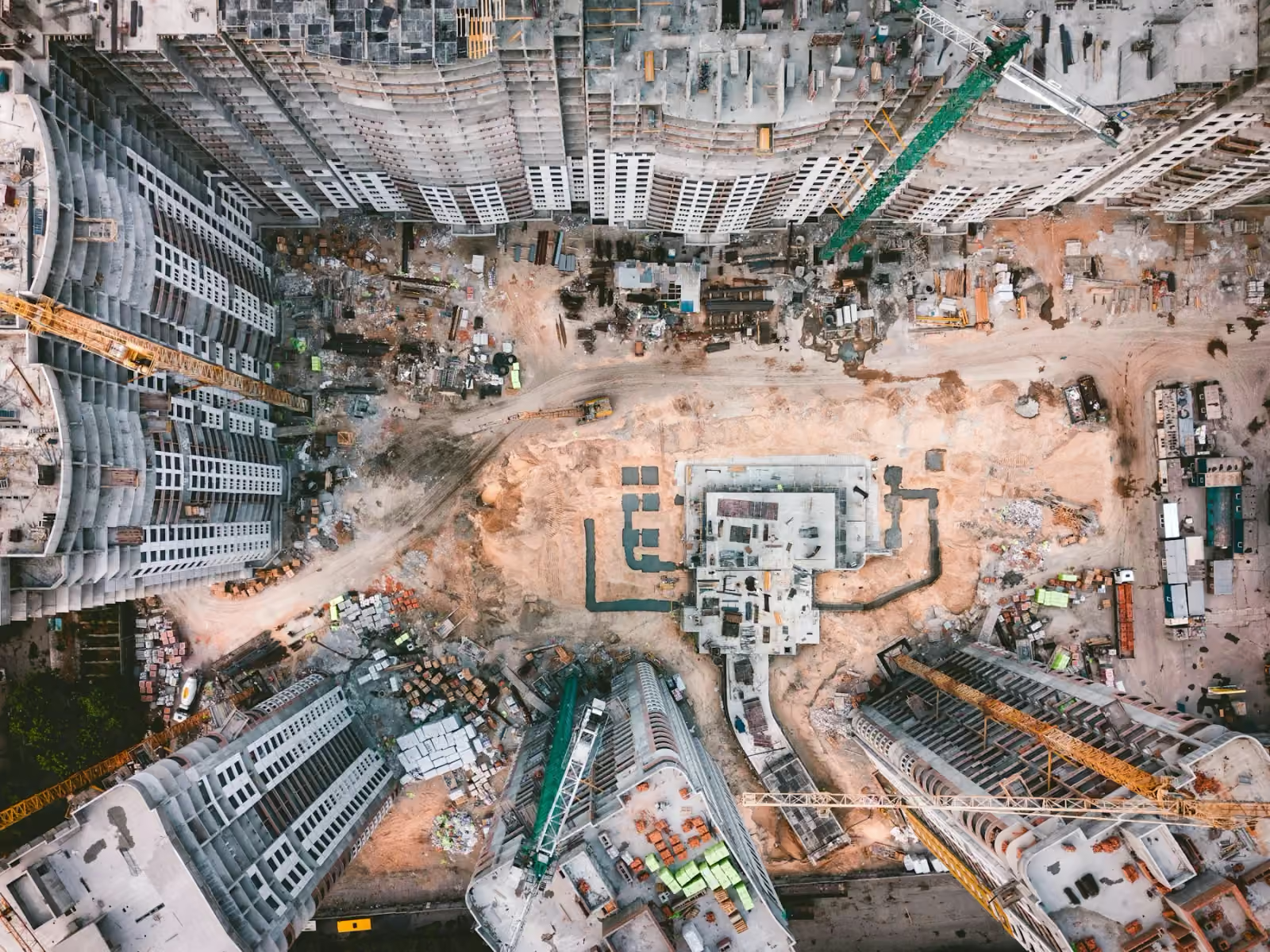
A construction site changes faster than a project report. Excavations become foundations, access routes move and work advances in several areas at once. A clear aerial record helps a project manager connect those changes to the wider programme—and gives stakeholders a common view of the site.
For a team commissioning construction drone services in Kuwait, the useful starting point is the information needed at the next meeting. A progress photograph, a measurable surface model and a handover film serve different purposes. Agreeing that purpose first makes the capture brief more useful.
Where drones fit into a construction project
Think of aerial capture as a sequence of records across the build. A planning overview supports discussions about layout and access. Repeated views document visible change during construction. At completion, photographs and films record the finished project.
The same visit may support several outputs, but they should be planned together. Footage framed for a promotional film does not automatically provide the coverage, control or validation required for a survey.
| Project stage | Useful record | What to agree first |
|---|---|---|
| Before work starts | Site overview and specified mapping | Boundary, intended use and reference information |
| Active construction | Dated aerial views and progress updates | Repeat viewpoints, key areas and reporting dates |
| Interior works | Ground or aerial 360° records where suitable | Viewpoint locations, access and milestones |
| Long-duration works | Time-lapse sequences | Duration, consistency and the story to communicate |
| Completion | Handover photographs and edited films | Audience, formats and publication requirements |
Make progress monitoring repeatable
A single aerial image is a snapshot. A consistent series becomes a record people can return to. For construction progress documentation, agree reference views and name them consistently so the team can compare the same area across dates.
For example, a project with several buildings might need a whole-site overview and a closer view of each work zone. A monthly management report may favour a concise selection; a milestone record may need more detail. Capture frequency should follow those needs and the construction programme.
Add dates, area labels and context when organising the material. A photograph shows visible conditions at capture. It does not, by itself, establish contractual completion, work quality or the reason for a delay.
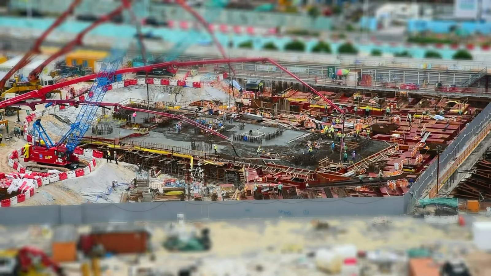
Choose mapping when the question involves measurement
If the question concerns levels, distances, earthworks or quantities, discuss a survey specification rather than ordering only progress imagery. Spatial mapping can bring imagery and geometry into outputs suited to the agreed task.
An orthomosaic gives a georeferenced plan view; a point cloud records sampled three-dimensional positions; a textured mesh helps people explore captured form. The right output depends on the receiving team and its software. DJI’s surveying overview explains these products.
Agree accuracy, the coordinate system and validation before capture. Our drone surveying deliverables guide explains the questions to include in that brief. For the next step, see how to use drone maps in construction planning.
Bring remote teams into the discussion
Not every stakeholder can visit for every review. Aerial photographs give them a shared overview, while 360° walkthroughs let them look around from captured viewpoints.
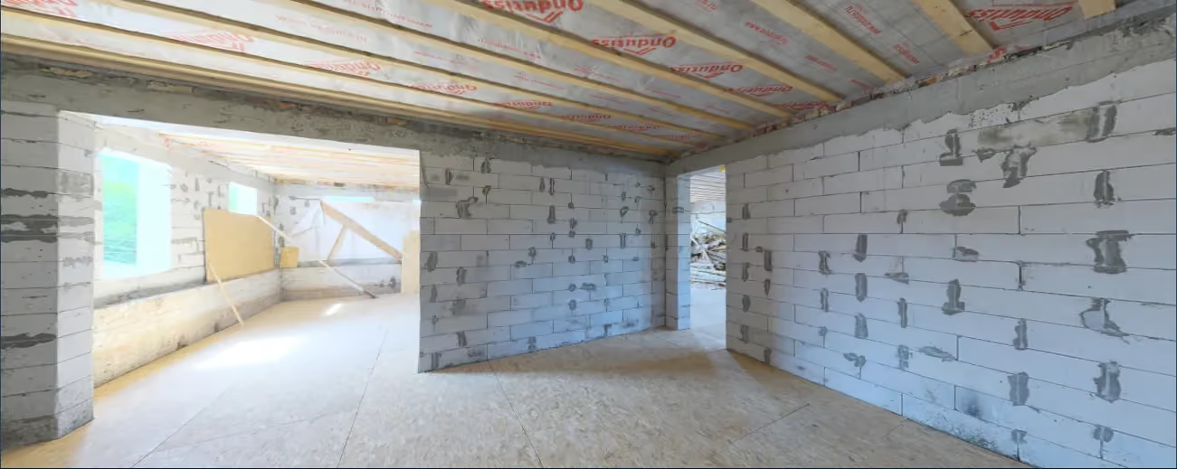
Use a walkthrough when the surroundings matter: the arrangement of a room, the relationship between work areas or visible conditions at a milestone. Identify each viewpoint and date. A walkthrough records that visit; it is not a live feed or automatically a dimensioned survey.
Plan for handover while the build is happening
A completion story often depends on footage captured months earlier. Establish useful reference views early, then record major transitions. Those moments can support time-lapse and handover media alongside internal reporting.
Keep the archive organised independently of the final film. The team may later need a particular photograph, milestone or format. A clear naming and delivery structure makes that reuse easier.
Prepare a useful brief for your Kuwait site
- Project and location: the site boundary, access contact and areas to include.
- Decision or audience: a client update, engineering review, progress record or finished-project film.
- Schedule: reporting dates, milestones and dependencies on site activity.
- Deliverables: photography, video, walkthroughs or specified spatial outputs, with required formats.
- Operating context: known access restrictions and site coordination requirements.
Outdoor work needs a suitable weather and visibility window. On a Kuwait site, discuss heat, airborne dust, glare and the timing of work that could affect visibility or access. Plan around the actual equipment limits and site conditions, with an agreed response if a visit needs to move. Site access and any required flight permissions must be established for the project.
For a project with several contractors or work zones, identify who can confirm access to each area and which reporting deadline the capture supports. Share a boundary or marked plan instead of relying on a project name alone. This helps define coverage and organise the resulting records.
Common questions
How often should a construction site be captured?
Start with the reporting cycle and the rate of visible change. Weekly, monthly and milestone-based records serve different needs. Agree how the schedule responds when the build programme changes.
Can drones replace site inspections?
They can provide observations from difficult viewpoints and may reduce some access requirements. They do not eliminate every need for physical inspection, testing or professional judgement. The inspection objective determines what evidence is sufficient. Discuss external observations through visual inspection; for enclosed assets, read our confined-space drone inspection guide.
Which aircraft does Orbit use?
Orbit owns and operates DJI Matrice 400, DJI Matrice 350 RTK and Flyability Elios 3. The outdoor aircraft support suitable aerial assignments; Elios 3 serves appropriate internal and GPS-denied inspection tasks. Payload and operating scope are agreed for each project. Explore our fleet.
Turn the next visit into a useful record
Orbit Aerials brings aerial inspection, mapping and visual documentation together from Kuwait City. Share the project stage, location and what your team needs to understand. We can then discuss a capture approach that connects the visit to a useful deliverable.
Plan your construction capture