Start with purpose.
Agree the question, coverage and intended use before choosing a viewpoint.
 Discuss a project
 Based in Kuwait City, Orbit Aerials works across oil and gas, construction, power, security and the environment.
 VISUAL INTELLIGENCE REDEFINED
A photograph can communicate scale. A spatial view can make a relationship clearer. A recorded walkthrough can bring a remote team into the conversation.
We connect the capture method to the intended use, bringing drone inspection, mapping and visual documentation together in a considered project plan.
Explore how we can help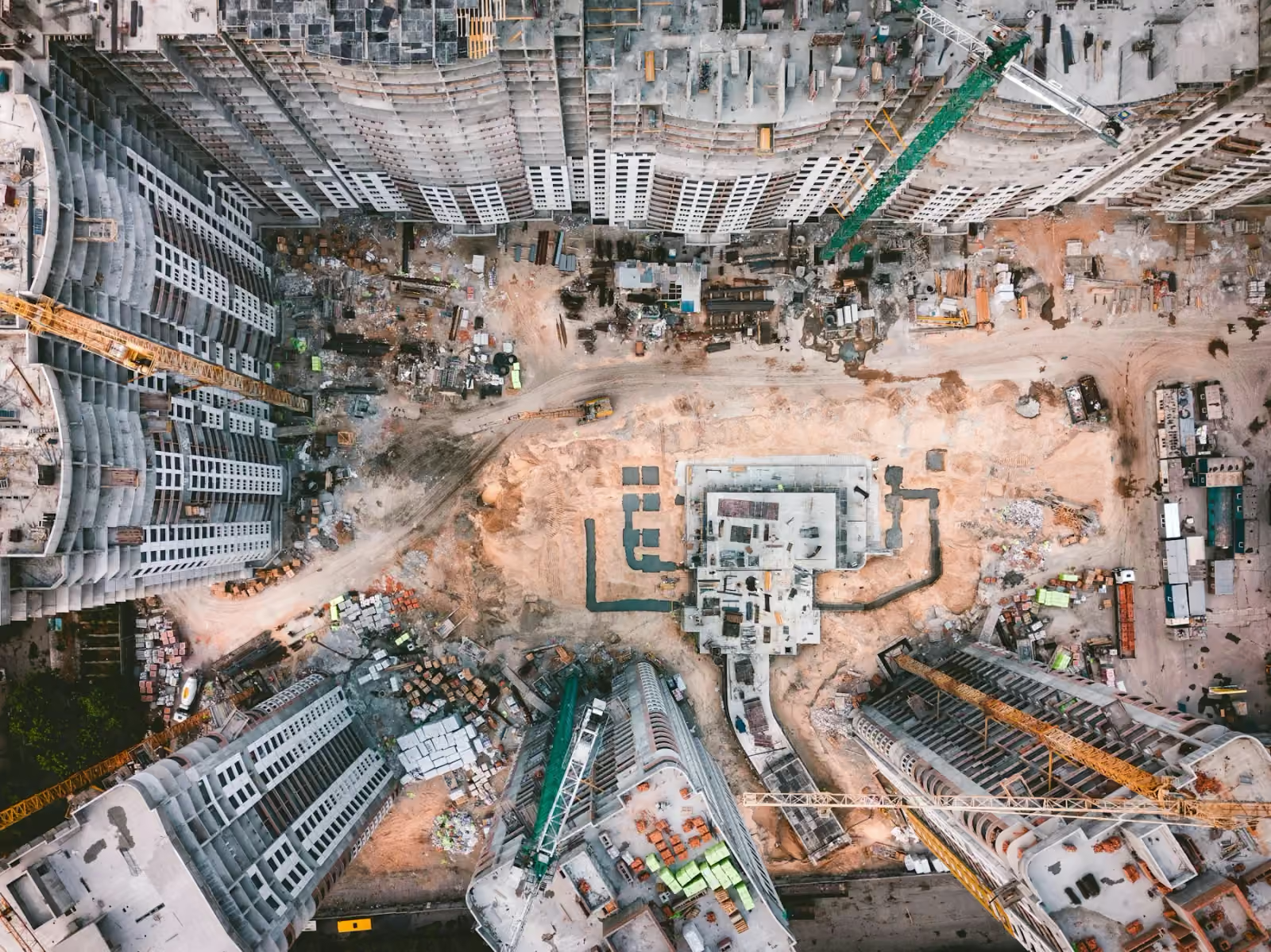
Start with the asset, environment and decision you need to make.
Agree coverage, timing, access, equipment and useful deliverables.
Collect the agreed imagery or data with site coordination.
Receive organised outputs prepared for the intended workflow.
Agree the question, coverage and intended use before choosing a viewpoint.
Useful records connect the detail to a place, a stage and a clear brief.
Organised imagery and agreed formats help the work continue after capture.