Explore remotely
Let colleagues and clients review captured spaces from their own location.
 Discuss a project
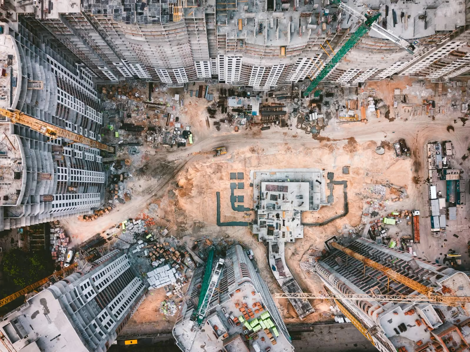
 360° construction walkthroughs in Kuwait, with aerial and ground views that help remote teams review captured site conditions.
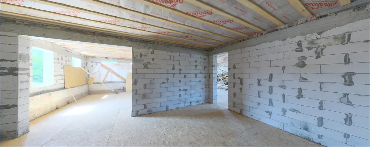
A single frame cannot show everything. Connected 360° views let stakeholders look around a space, understand its surroundings, and revisit captured conditions without arranging another visit.
Discuss this serviceLet colleagues and clients review captured spaces from their own location.
Add spatial context to conversations about access, layout, and visible progress.
Build a record of captured conditions at the stages that matter to your team.
Coverage, formats and intended use are agreed before capture.
Explore a true spherical photograph of an unfinished interior. A captured place you can revisit.
Demonstration: Interior Construction by Sergej Majboroda / Poly Haven · CC0. Not an Orbit commission.
From the first site overview to the final handover, choose aerial records that help your construction team see progress, share context and plan the next step.
Turn a dated site capture into a useful planning conversation: review access, coordinate work zones and track visible change with the right context.
Start with the asset, environment and decision you need to make.
Agree coverage, timing, access, equipment and useful deliverables.
Collect the agreed imagery or data with site coordination.
Receive organised outputs prepared for the intended workflow.
We plan both aerial and ground coverage around the spaces you need to document, subject to safe access and site conditions.
It can make remote reviews more useful, but it does not replace inspections or decisions that require physical access to the site.
Share the location, timing and intended use in a project enquiry. We will discuss coverage and delivery with you before a capture plan is agreed.
Prepare a project enquiry