
Five fields.
One clearer view.
Different assets bring different questions. We plan the capture around the environment, your team and the decision ahead.
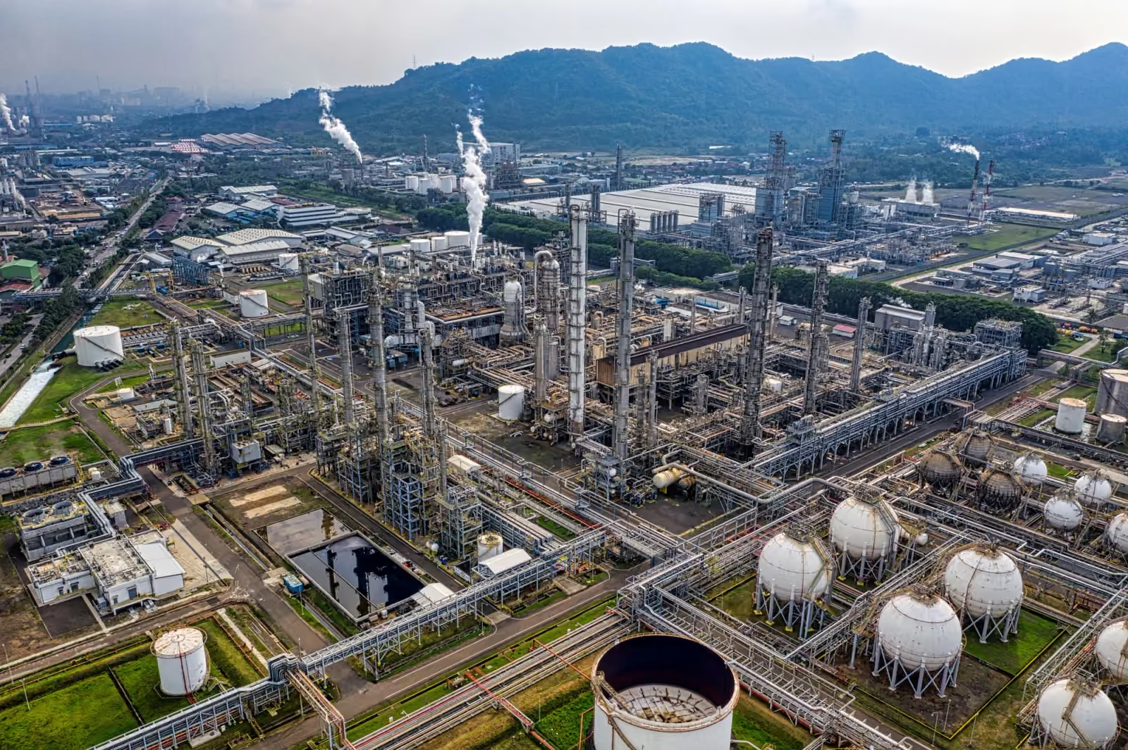 ILLUSTRATIVE INDUSTRY VIEW
Closer to the asset.
Understand visible asset conditions and the relationship between structures, access routes and operating areas.
- What we capture
- External visual inspection and site documentation, with Elios 3 for suitable enclosed spaces. Thermal or specialist inspection is scoped around a confirmed payload.
- What you receive
- Organised imagery, agreed coverage references and a visual record for review by your asset team.
Before we take off.
Asset type, inspection objective, access restrictions, operating conditions and the specialist interpretation you require.
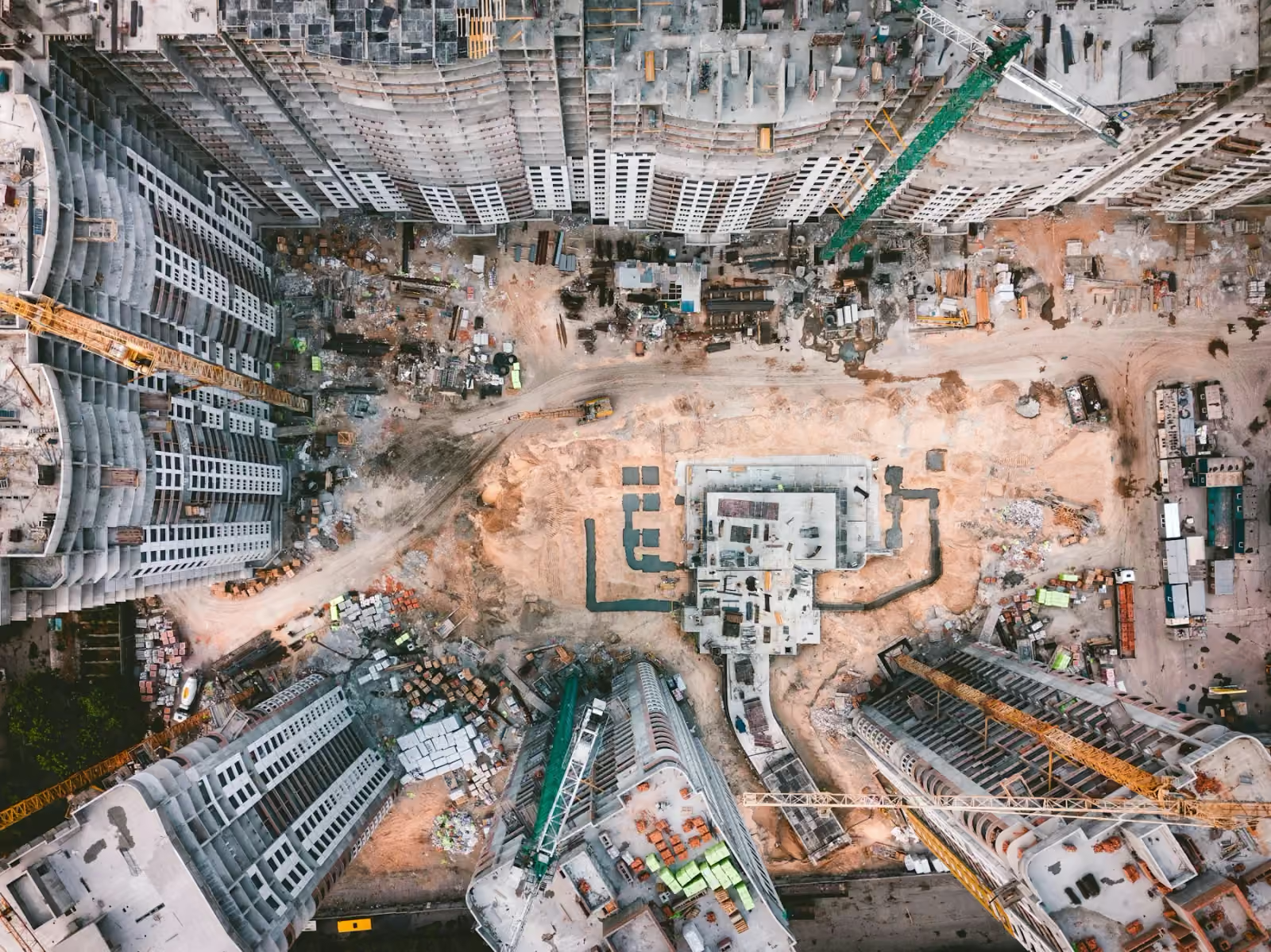 ILLUSTRATIVE INDUSTRY VIEW
Every stage. In perspective.
Keep stakeholders connected to progress, understand the whole site and create a lasting record of the build.
- What we capture
- Recurring aerial views, spatial capture, ground and aerial 360° viewpoints, time-lapse sequences and completion media.
- What you receive
- Dated photography, edited updates, agreed mapping outputs, walkthroughs and handover films.
Before we take off.
The project programme, reporting dates, key viewpoints, accuracy requirements and the final audience.
 ILLUSTRATIVE INDUSTRY VIEW
See the connections.
Review visible condition and spatial context across infrastructure that can be difficult to access from the ground.
- What we capture
- Visual inspection, route and site mapping, and condition documentation. Thermal assessment depends on equipment configuration and the agreed operating scope.
- What you receive
- An organised visual record and agreed spatial outputs that support your own engineering review.
Before we take off.
Asset dimensions, electrical and access constraints, required detail and your assessment workflow.
 ILLUSTRATIVE INDUSTRY VIEW
Context when it matters.
Build a clearer picture of an authorised site, its perimeter and recorded incidents.
- What we capture
- Planned aerial observation, visible site conditions and incident documentation within an agreed, legitimate operational scope.
- What you receive
- Dated imagery and edited documentation for authorised stakeholders. Scope and access are agreed before capture.
Before we take off.
Purpose, site permissions, people and privacy, coverage area and how the material will be handled.
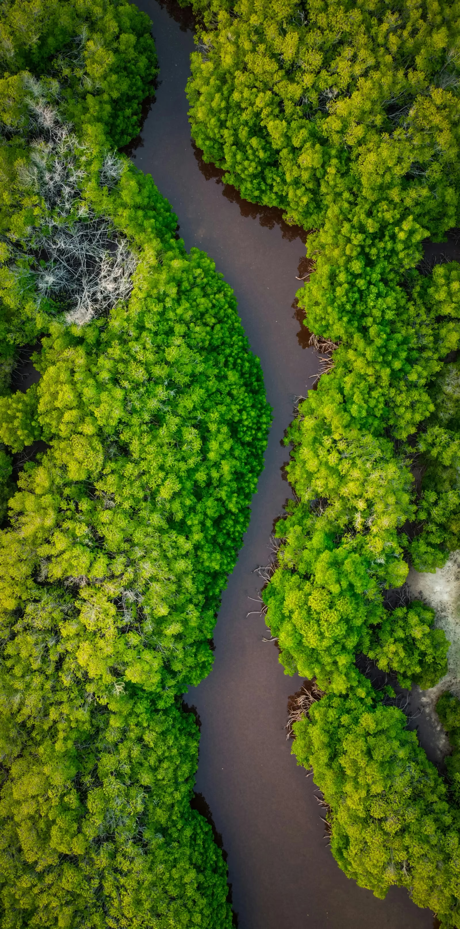 ILLUSTRATIVE INDUSTRY VIEW
Understand a changing landscape.
See the extent and visible condition of land, vegetation, coastlines and changing sites.
- What we capture
- Aerial mapping, repeat photography and visual documentation of agreed areas. Specialist sensing is discussed separately.
- What you receive
- Comparable imagery, orthomosaics or other agreed outputs for your environmental team’s interpretation.
Before we take off.
The area of interest, seasonal timing, repeat coverage, intended analysis and required output formats.