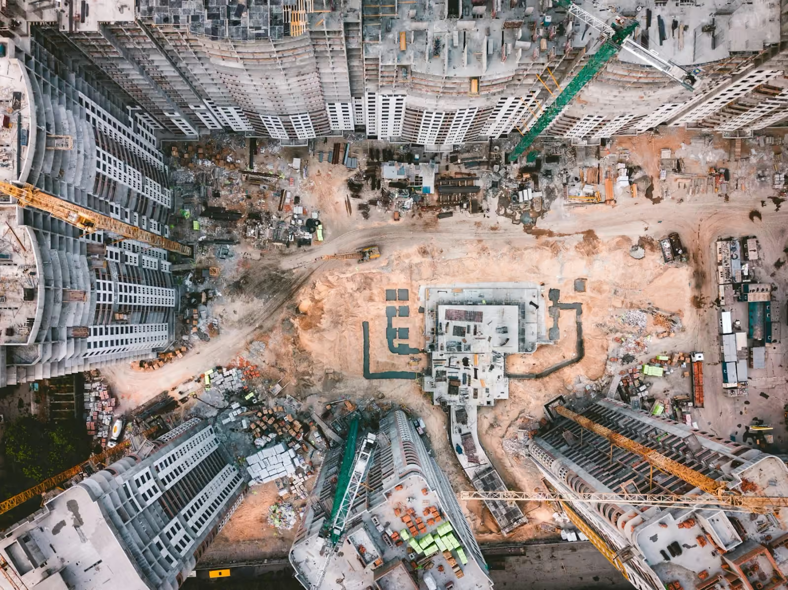
See the wider context
Review site layout, activity, and surrounding conditions in one connected view.
 Discuss a project
 Drone surveying and aerial mapping in Kuwait. Agree orthomosaics, 3D models, point clouds, coordinate systems and accuracy checks before capture.
We bring aerial imagery and technical outputs together to help teams understand sites, assets and changing landscapes. The scope starts with what your team needs to compare, review or communicate.
Discuss this serviceReview site layout, activity, and surrounding conditions in one connected view.
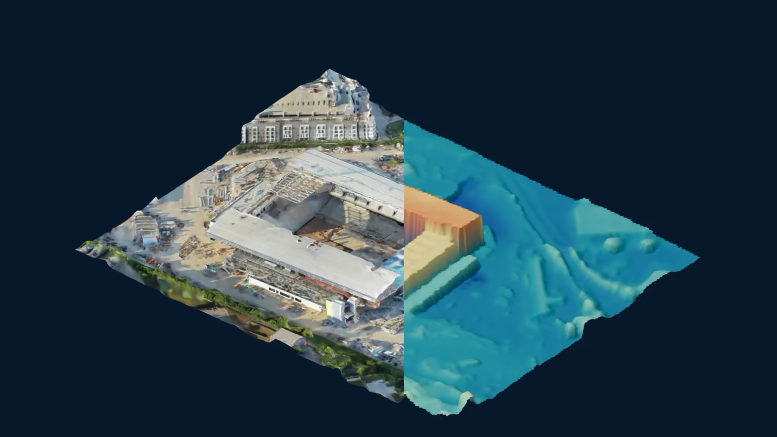
Use textured models, point clouds, and surface models to examine different aspects of the captured site.
Agree the required outputs and coordinate system at the start, so delivery fits the intended workflow.
Coverage, formats and intended use are agreed before capture.
Compare textured photogrammetry, sampled points and a surface-height view using the same camera.
Demonstration: Stadium under construction by Sircher · CC BY 4.0. Derived views are illustrative, not validated survey data or an Orbit project.
Orthomosaics combine imagery into a plan view. Textured models communicate form. Point clouds describe captured surface geometry. Surface and terrain outputs have different purposes and processing requirements. Control, coordinate system, validation and acceptance criteria must match the intended use.
A practical brief for commissioning a drone survey: specify the files, reference system, accuracy checks and site conditions before capture.
From the first site overview to the final handover, choose aerial records that help your construction team see progress, share context and plan the next step.
Start with the asset, environment and decision you need to make.
Agree coverage, timing, access, equipment and useful deliverables.
Collect the agreed imagery or data with site coordination.
Receive organised outputs prepared for the intended workflow.
That depends on the task. We work with your team to define the coverage, outputs, and intended use before capture.
Tell us the required accuracy and purpose first. Capture methods, control, validation, and acceptance criteria need to be agreed for that specific scope. The homepage explorer is a visual demonstration, not a measurement tool.
Share the location, timing and intended use in a project enquiry. We will discuss coverage and delivery with you before a capture plan is agreed.
Prepare a project enquiry