

Discover how Orbit Aerials brings precision, clarity, and efficiency to every stage of your construction project. Our specialized aerial and ground-based services are designed to document progress, enhance visibility, and support smarter decision-making from start to finish.
Our services
Visual intelligence
Orbit Aerials’ Visual Intelligence service transforms images and videos into actionable insights that support better project decisions. By analyzing aerial and ground visuals, we identify trends, detect issues early, and deliver clear, data-backed reports that enhance construction oversight and efficiency.


One Team coverage
Single team coverage in one day of work can go up to 3km square.
3km
11
In-house tools available
A total of 11 different data sets are captured during site operations.
150
Gigabytes of Data
A single day of operations captures over 150Gb of visual data
Engineering Intelligence
Orbit Aerials’ Engineering Intelligence service combines visual data with technical analysis to support engineering teams throughout the construction lifecycle. From structural verification to site condition assessments, we deliver precise, visually-driven insights that help identify risks, validate progress, and ensure alignment with design specifications.
DTM
DSM
SHP
TIFF
OBJ
LAS
360
Walkthrough
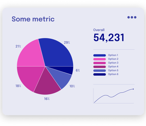
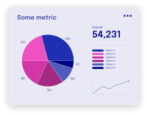
Effective data analysis helps businesses of all sizes to save money, see the bigger market trends and streamline internal processes. Our team helps you identify the data streams you should be tracking and following, and sets up processes and visualization tools to help you make sense of the data. From one-off consultation to ongoing partnerships, our data analysts are available on short notice to help you steer your business to the right direction.


No
Site Visits
Eliminates the need for increased site visits, increase site visibility.
Increased Safety
Improves overall safety by reducing site access.
Remote Inspections
Inspection of larger number of project sites per day.
Media Visualization
At Orbit Aerials, we blend creative storytelling with industrial precision to deliver media that is both visually stunning and functionally valuable. Our capabilities span cinematic drone footage, time-lapse videos, 360° site walkthroughs, and high-resolution photography—crafted to meet the demands of construction, infrastructure, and real estate projects. Whether for marketing, stakeholder presentations, or technical documentation, our creative and industrial media solutions ensure your projects are seen, understood, and remembered.
Location
Burj Al Tujjar
Kuwait City, Kuwait
Hours
Sunday-Thursday 9:00-16:00
Contacts
+965 991 11 397
info@orbitaerials.com